
Brains4Drones offers advanced robotics solutions for infrastructure inspections, storm response, and wildfire prevention. Utilizing autonomous UAVs with multi-sensor payloads, it enhances data collection and mapping technology for efficient field operations. The platform supports real-time data processing, aerial photography, and remote inspections, making it ideal for utility management and environmental monitoring in the energy sector.
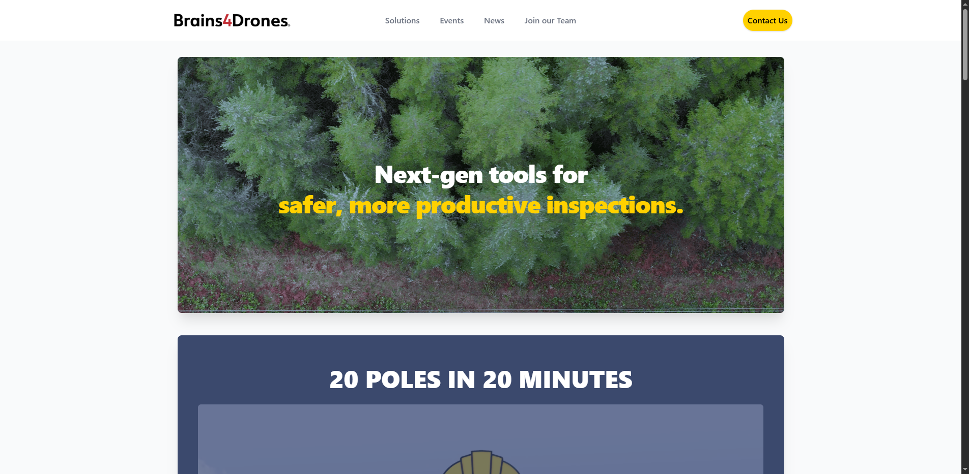
Brains4Drones provides cutting-edge robotics solutions specifically designed for infrastructure inspections, storm response, and wildfire prevention. By leveraging autonomous UAVs equipped with multi-sensor payloads, it significantly enhances data collection and mapping technology, optimizing field operations for various industries.
Brains4Drones Key Features
- Autonomous UAVs: Equipped with advanced sensors for comprehensive inspections.
- Real-Time Data Processing: Instant analysis and reporting capabilities.
- Aerial Photography: High-resolution imaging for detailed assessments.
- Remote Inspections: Safe and efficient monitoring of hard-to-reach areas.
- Multi-Sensor Payloads: Versatile data collection for diverse applications.
Why use Brains4Drones?
- Improve safety during inspections in hazardous environments.
- Enhance efficiency in data collection and mapping.
- Support utility management with accurate and timely information.
- Facilitate environmental monitoring in the energy sector.
Pricing
Brains4Drones operates on a subscription model, offering various tiers based on usage and features.
Is Brains4Drones Free?
No, it does not offer a free tier but may provide a demo upon request.
Key Platforms
Core Service Areas:

Autonomous UAV Operations
Multi-Sensor Payloads
Real-Time Data Processing
Aerial Photography
Remote Inspections
Utility Management Support
Pros
- Enhances safety through remote inspections
- Improves efficiency in infrastructure inspections
- Supports storm response and wildfire prevention efforts
- Utilizes multi-sensor payloads for comprehensive data collection
- Facilitates real-time data processing and mapping
- Offers advanced imaging and computer vision capabilities
- Promotes collaborative robotics for better teamwork
- Provides valuable insights for asset and vegetation management
- Enables 360-degree inspections for thorough assessments
Cons
- High initial investment for drone technology
- Requires skilled personnel for operation and data analysis
- Potential regulatory hurdles in drone usage
- Dependence on weather conditions for effective operation
Frequently Asked Questions About Brains4Drones
01
What types of inspections can Brains4Drones perform?
Brains4Drones specializes in infrastructure inspections, including utility management, environmental monitoring, and assessments related to storm response and wildfire prevention.
02
How do the UAVs collect data during inspections?
Our autonomous UAVs are equipped with multi-sensor payloads that allow for comprehensive data collection, including high-resolution aerial photography and real-time data processing.
03
Is the platform suitable for emergency response situations?
Yes, Brains4Drones is designed to support rapid response during emergencies such as storms and wildfires, providing crucial data for effective decision-making.
04
Can I access the data collected by the UAVs in real-time?
Absolutely! The platform supports real-time data processing, allowing users to access and analyze data as it is collected during inspections.
05
What industries can benefit from using Brains4Drones?
Brains4Drones is ideal for industries involved in energy, utilities, and environmental management, providing advanced solutions for inspection and monitoring needs.
Promote Brains4Drones
Get Brains4Drones in front of thousands of buyers actively searching for AI tools. Feature your listing on the homepage and category pages, or add the verified badge to your site.
Copy Embed Code

Share on

Related AI Tools
Explore related AI tools for diverse applications and enhanced productivity

Unlock the best AI Tools for you!
Login or Approve this tool to continue exploring features and analytics.